As introduced last time, I’m at Whatipu again! I’m doing the same hike I did nearly a year ago, taking the Kura track up to Omanawanui track and then back around to the carpark. Let’s see how I got on.

You may recall from my previous trip here that I spent a bit of time wandering about looking for the trailhead. Fortunately, this time I was able to recall that you have to walk down the road a bit to get to the start of the Kura track.
(Yes, I did reuse this picture from the previous post. I try not to do that, but I only took one photo of the gravel road. What’s a guy to do?)

Once you get to this bit, you will need to notice the orange blaze on a lonely post in the field and follow the vaguely-defined trail to the gate. Through the gate is the proper start of the Kura track.
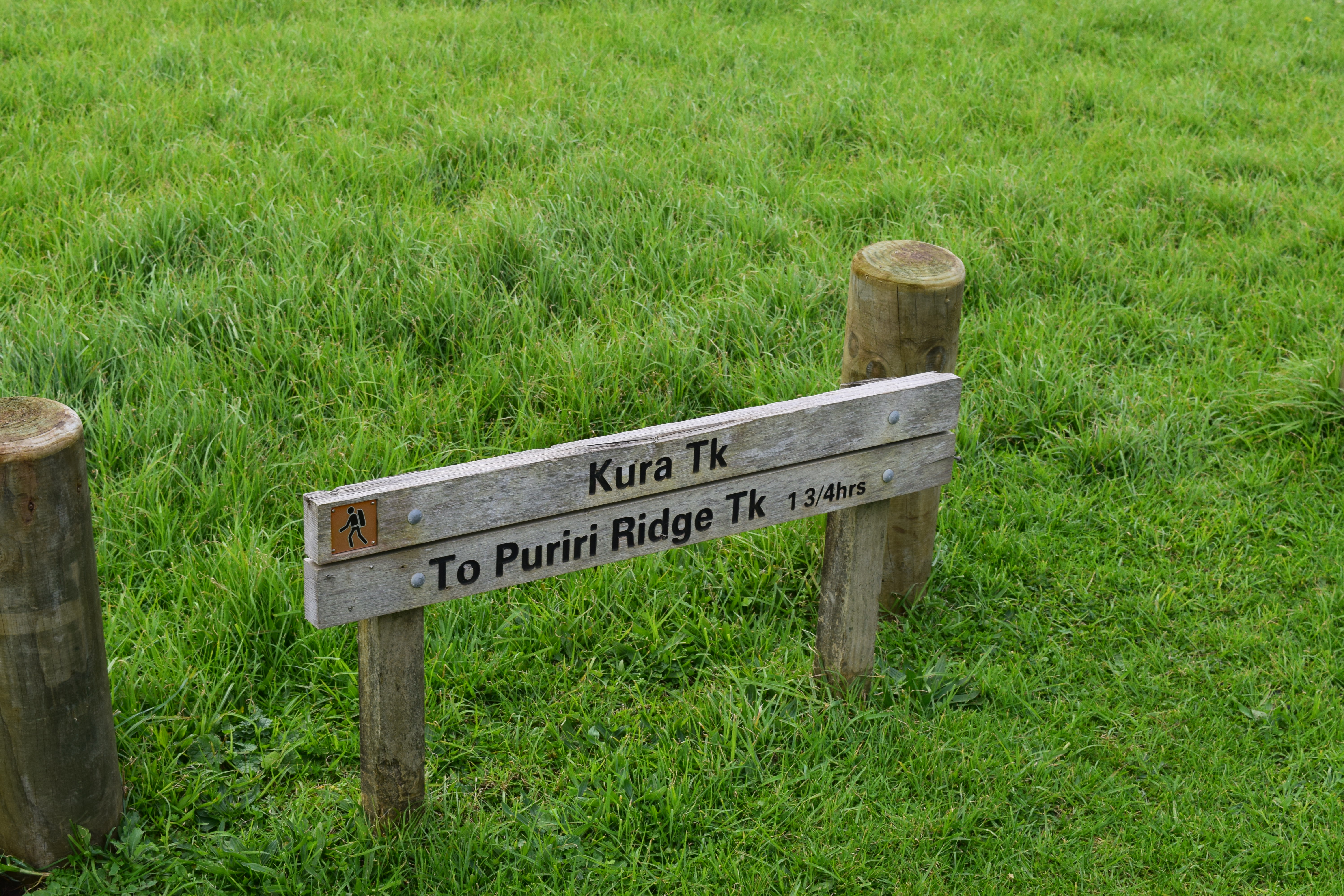
There is also a sign for the more clueless, such as myself.
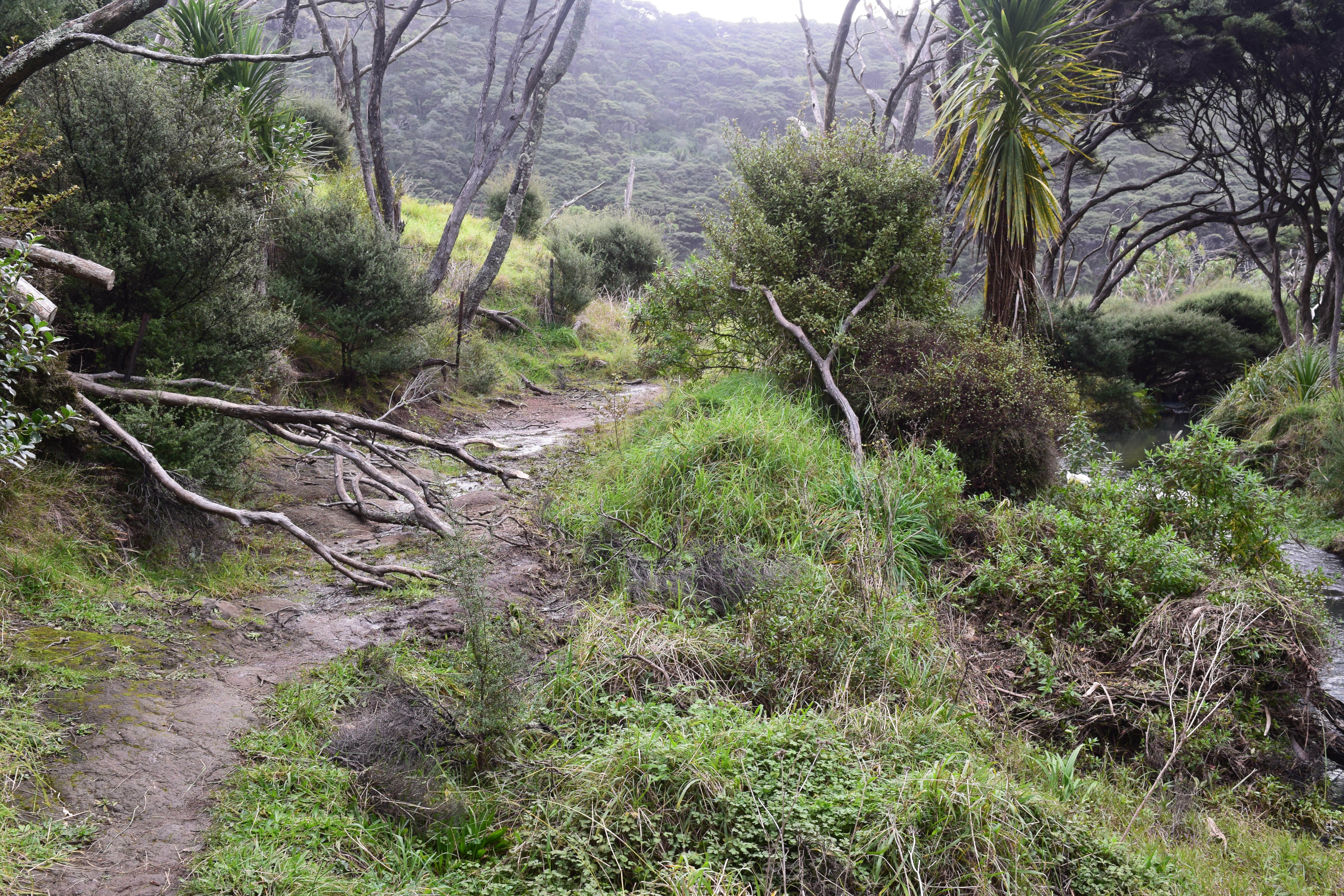
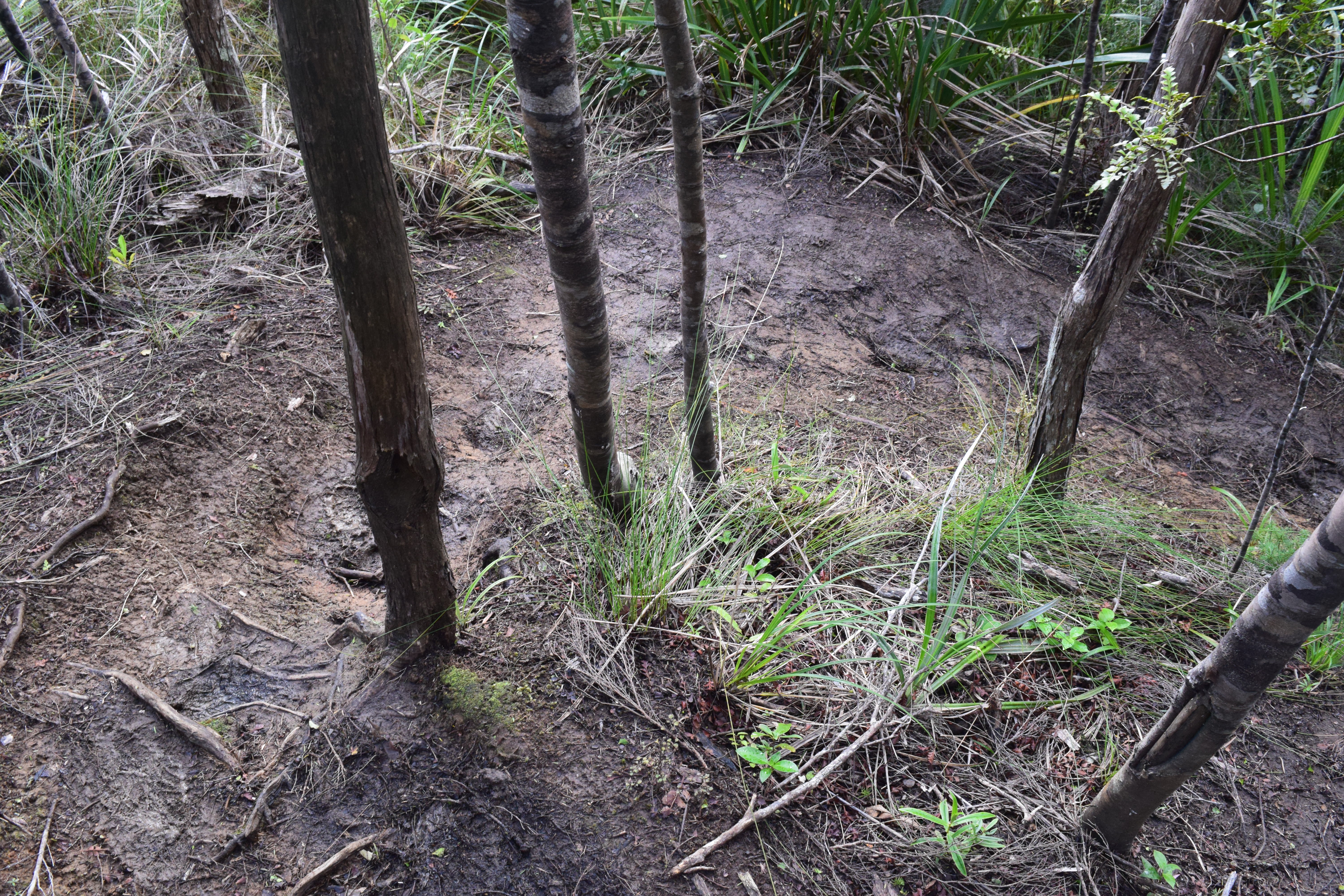
Let’s be fair: it’s still Winter here in New Zealand, and it’s been raining. Expecting the trail to be pristine would be unreasonable. But even so, the Kura track is not great.

As you can see, between the beach and the walk I changed into my boots. But by the end of the walk my boots — as well as the cuffs of my Action Khakis ™ — were covered in mud! Note: this picture is of the trail, not of a stream next to the trail.
In addition to being yucky, which comes with the territory sometimes, hiking through mud is slower and also more dangerous (well, those two are related; it’s slower because it’s more dangerous). Be careful in tricky terrain conditions, especially if you’re by yourself.

I like this lone palm tree in a sea of ferns.
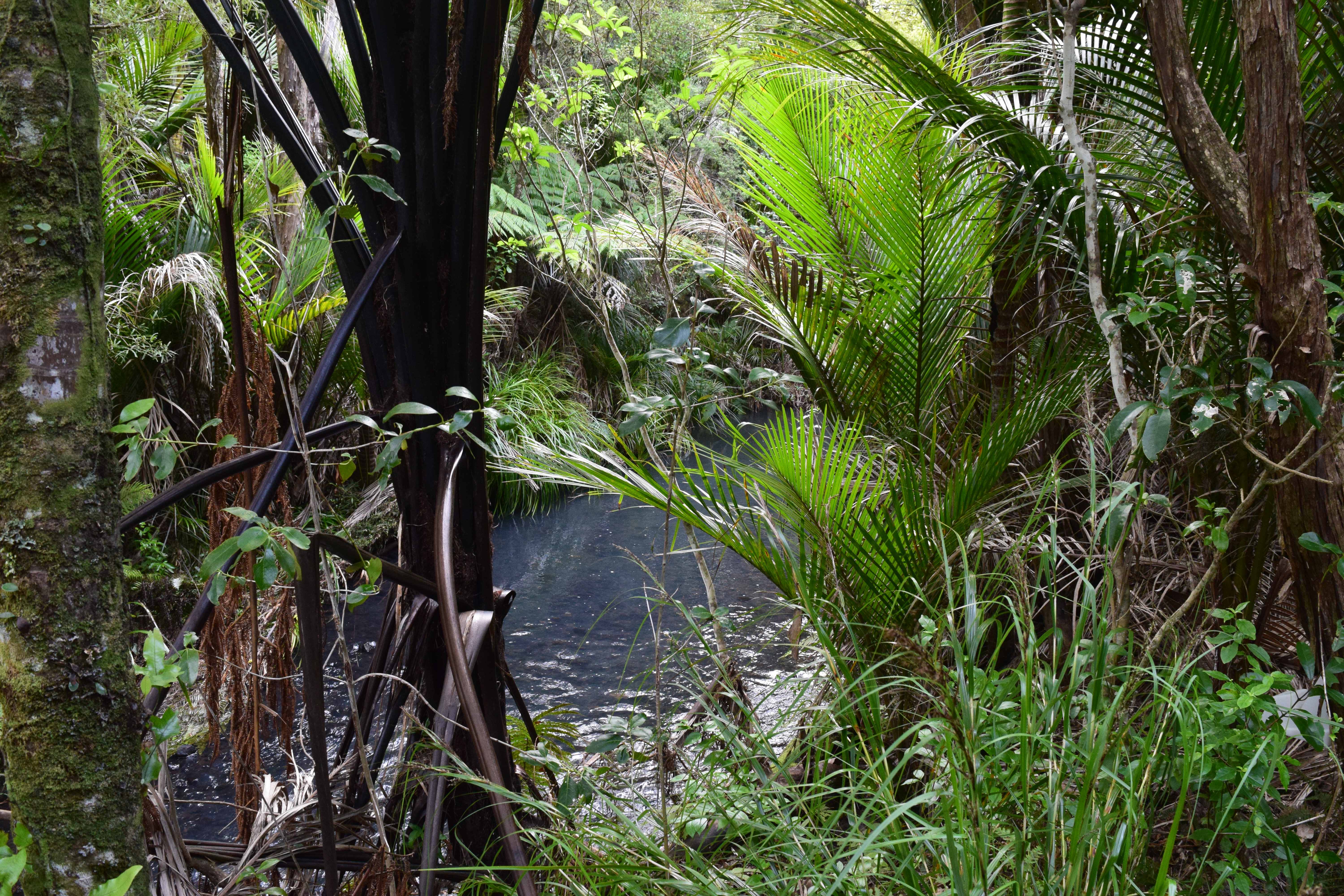
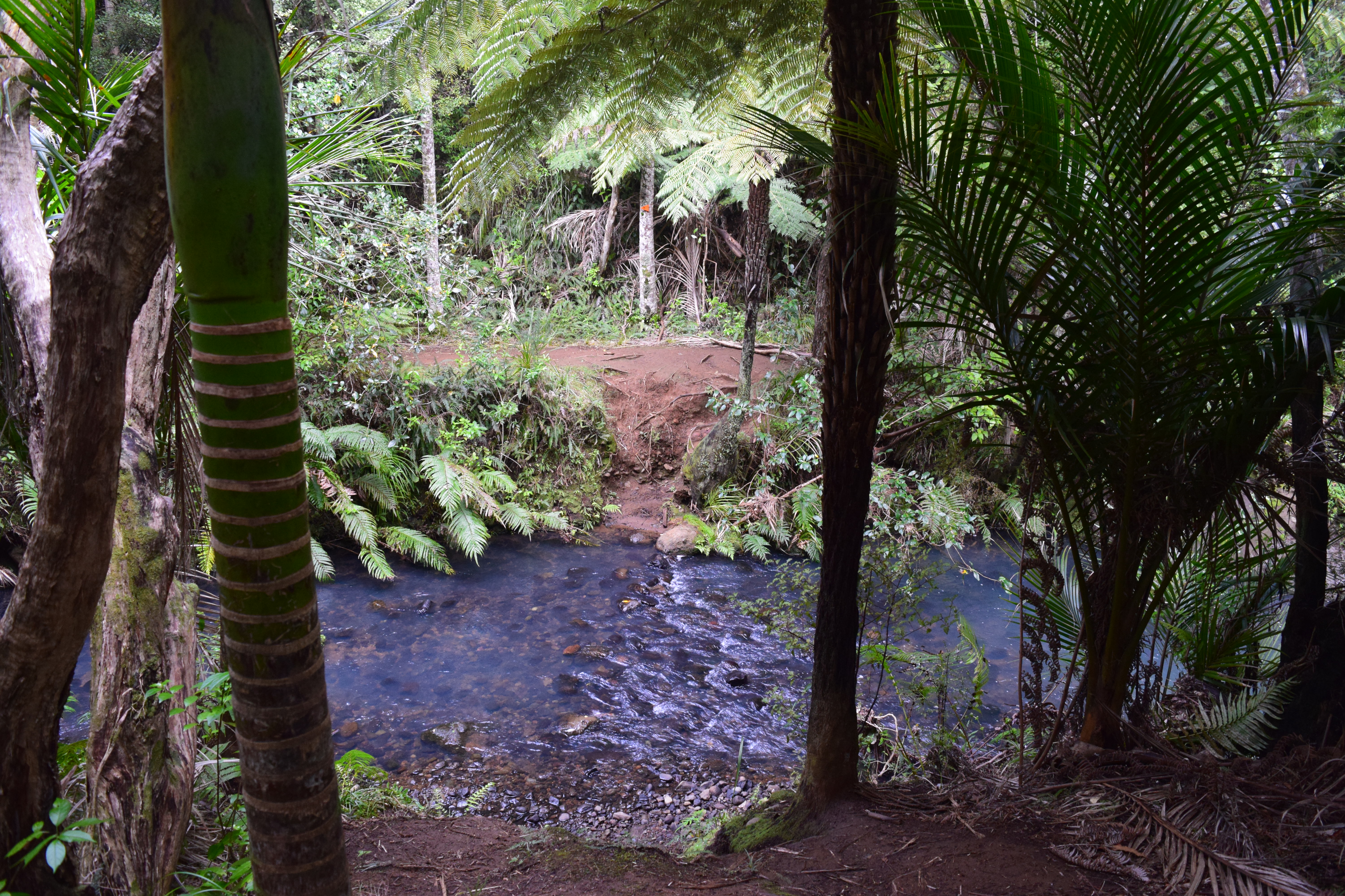
The Kura track borders, and frequently crosses, this stream.
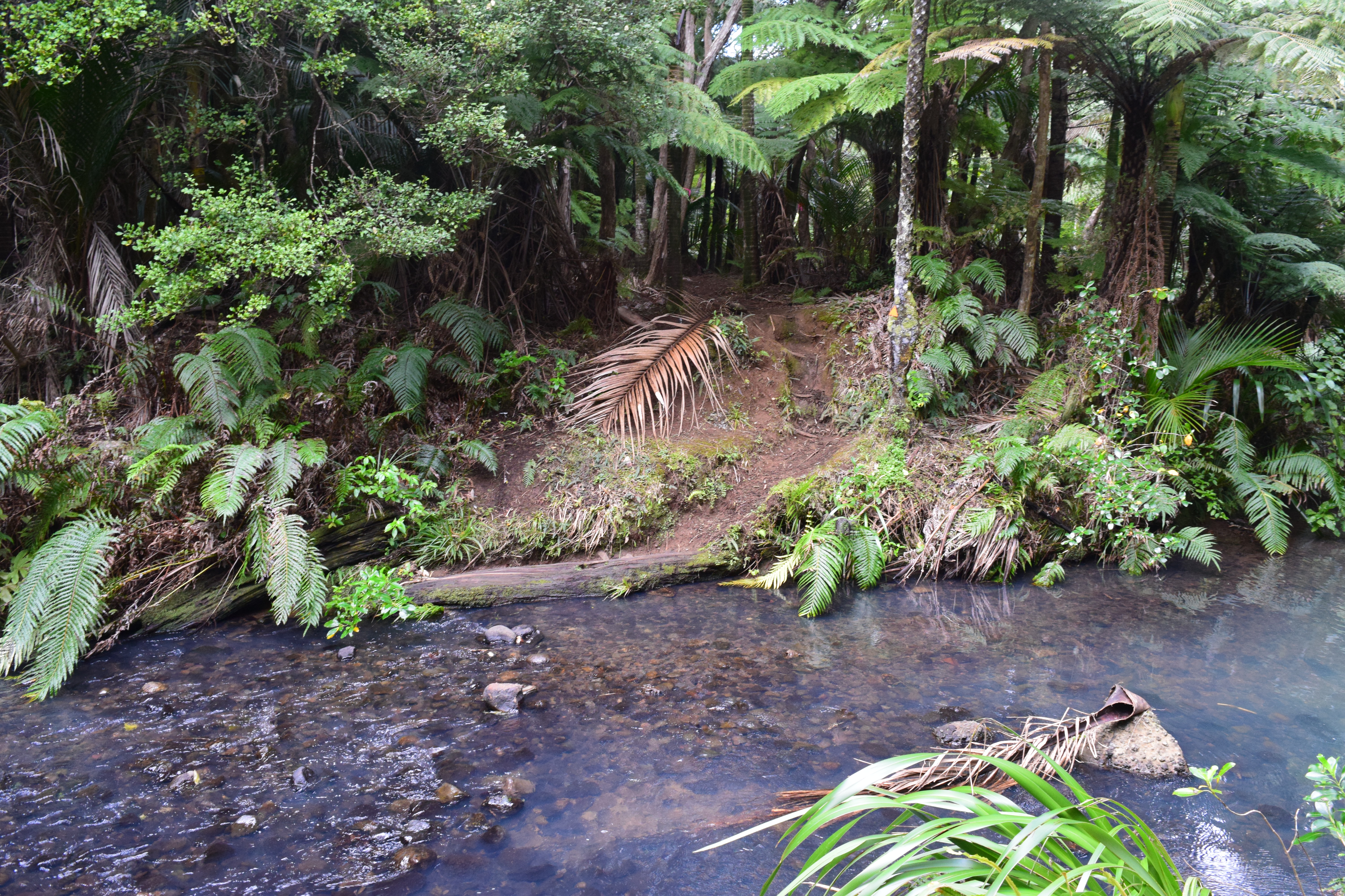
The fords are all unbridged, and in the Winter there’s really nothing for it but to just wade in.
There are a total of five crossings. Be prepared for this when you set out. It’s no good being taken by surprise!

Though there are no bridges, in a couple of places where the trail is just completely washed out, there are boardwalk sections installed.
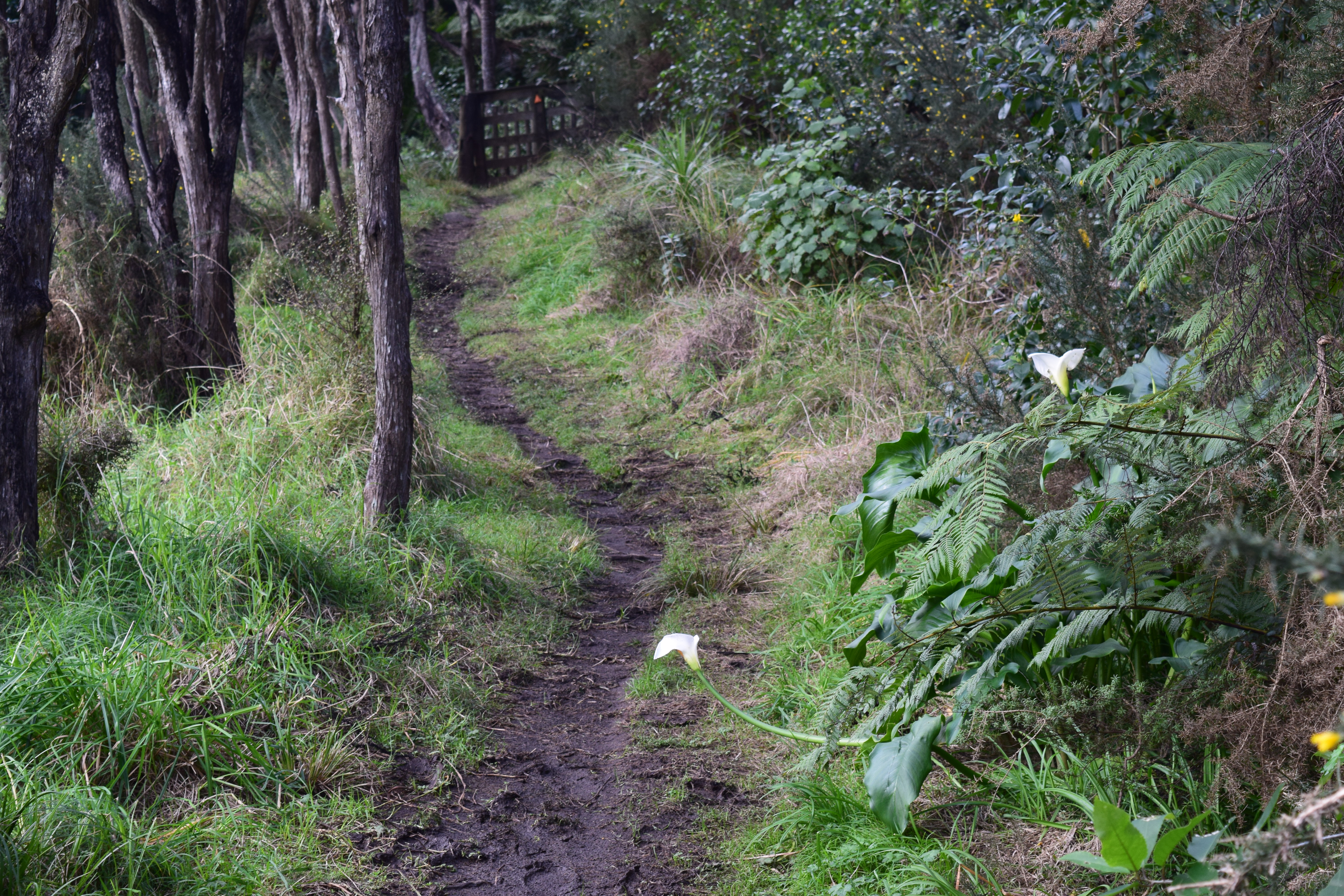
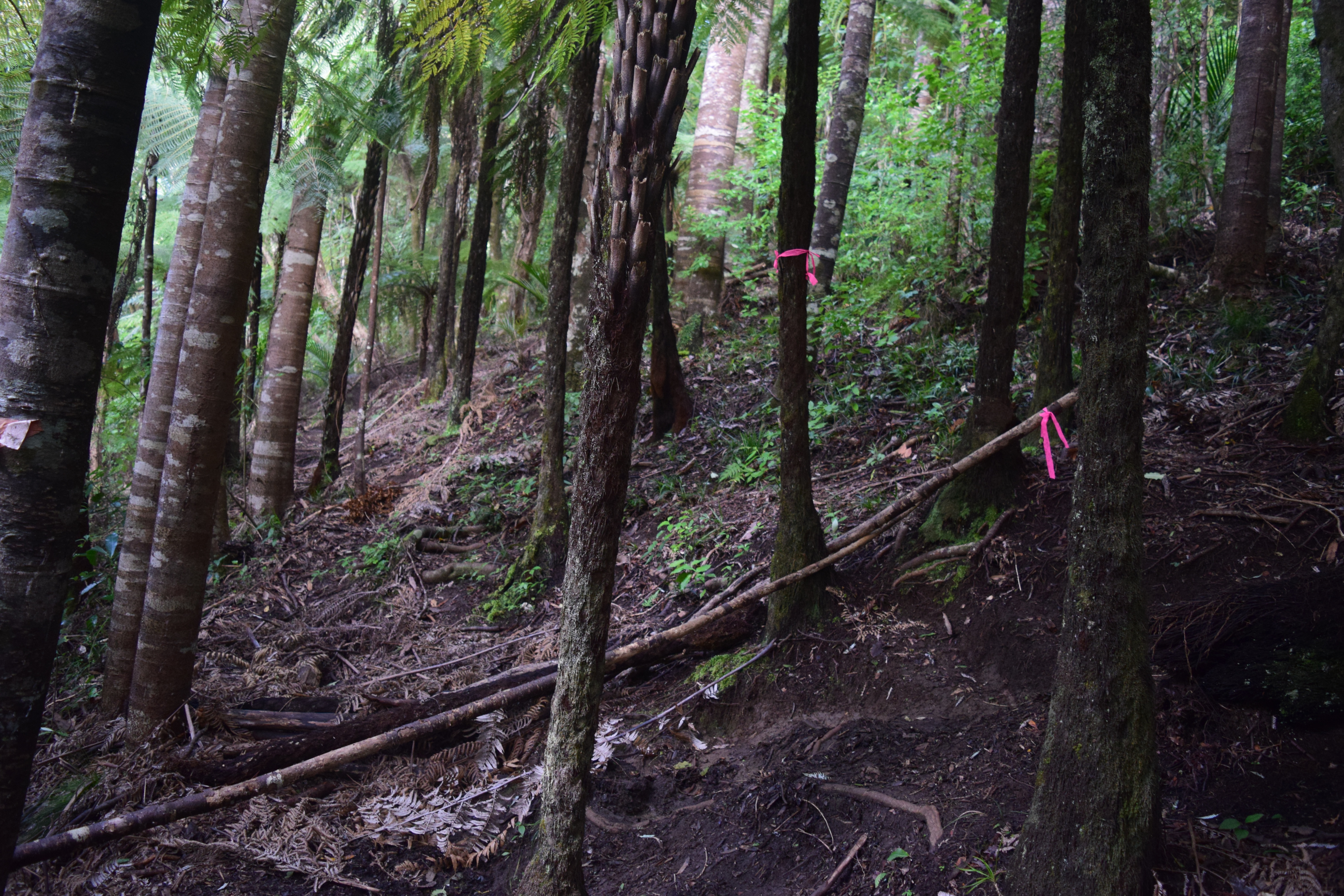
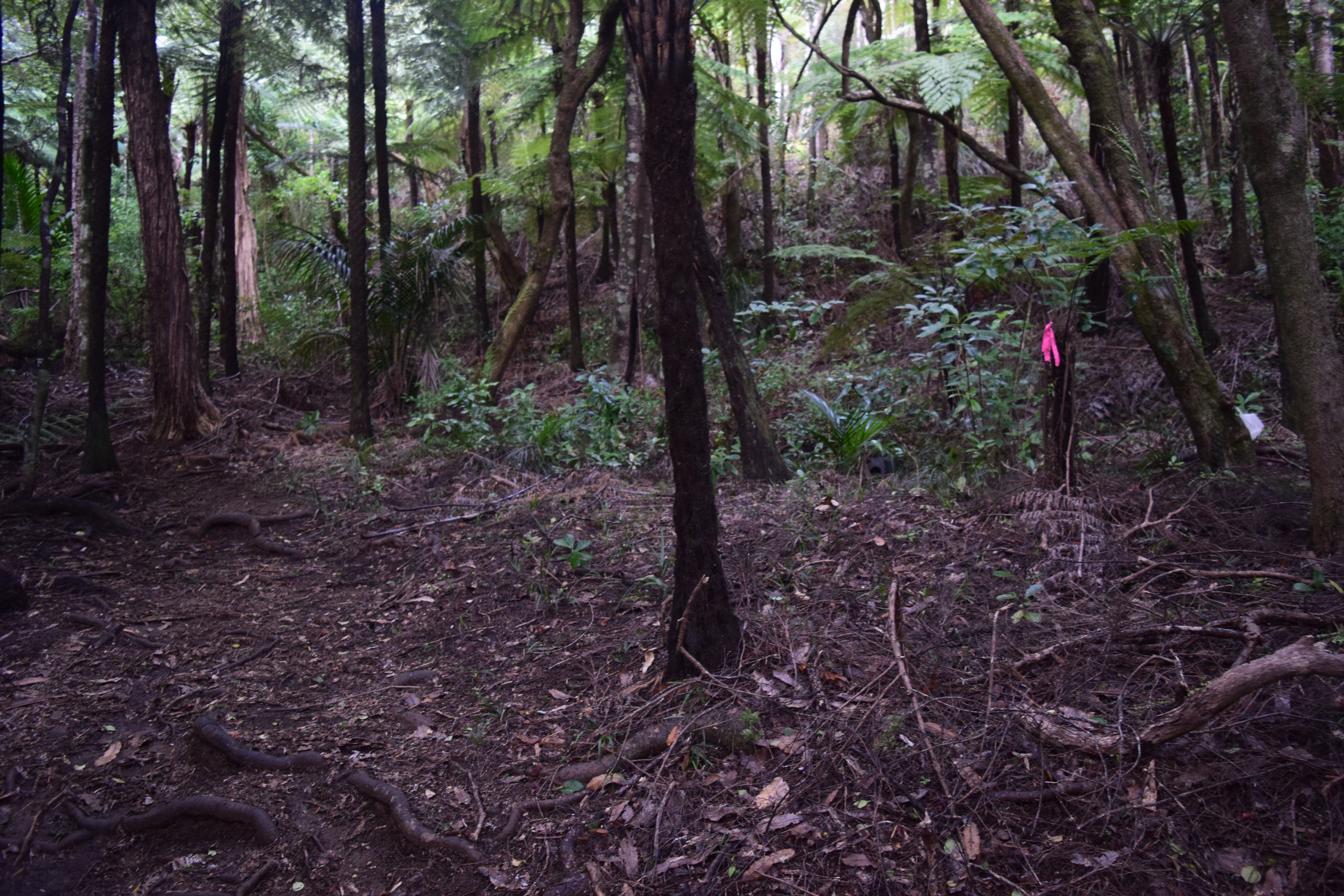
As the trail leaves the stream and starts to climb through the woods, the muddy conditions (plus wet feet from the fords) makes for slow going.
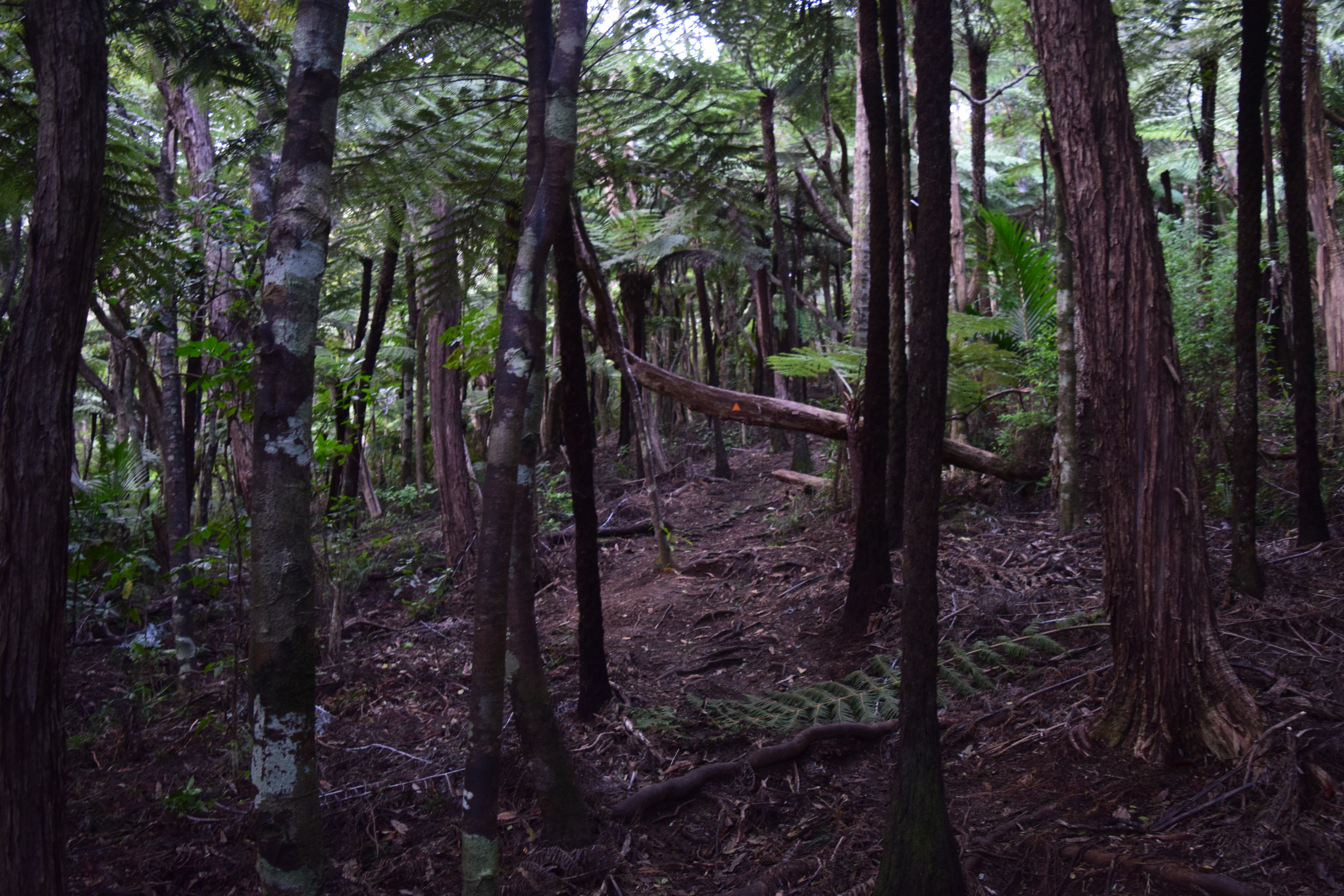
I will say this: though the trail still sometimes gets confusing at times, it’s better marked than it was last time I was here.
This is where I missed the path previously. Someone’s put a tree across the fake path to help folks like me not make the same mistake again!
(The pink ribbons, while somewhat helpful, are not trail blazes. They mark traps and bait stations for pest control. They roughly follow the trail, but can sometimes lead you astray. It’s the orange triangles which are the proper blazes.)
I should create a Where’s Wally style book called Find the Trail.
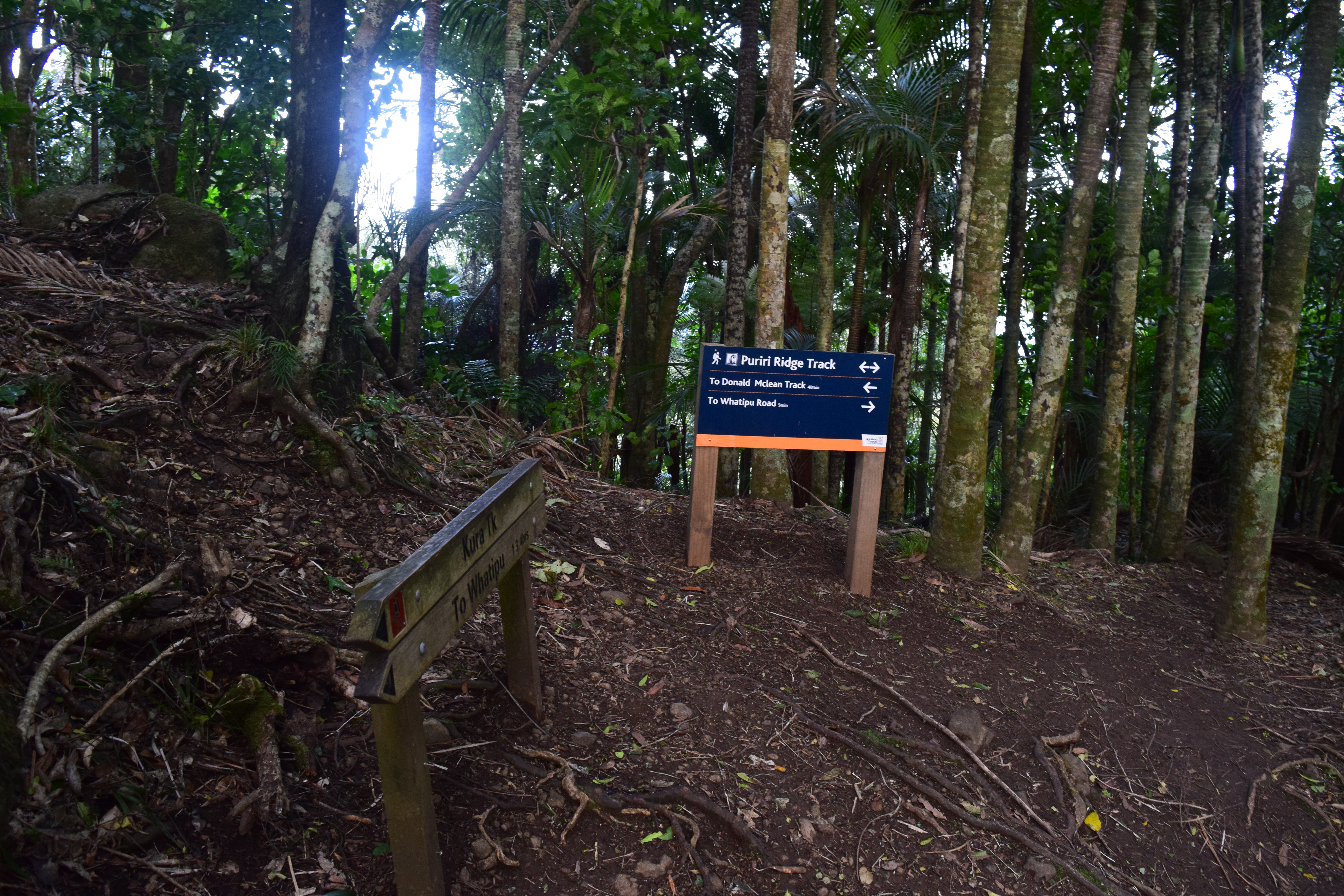
Eventually, after quite a bit of climbing, we reach the Puiri Ridge track. From here, it’s possible to continue Northeast to Huia (which we’ve been to before) or go along the coast on the Omanawanui track. We’re interested in option 2.
The time estimate on the sign at the bottom is 1 hour 45 minutes, and the camera timestamps show that I did it in 1 hour 35. Thanks to trail conditions and multiple rocky fords, don’t assume that you’re going to outpace the trail signs if you’re hiking this in Winter.
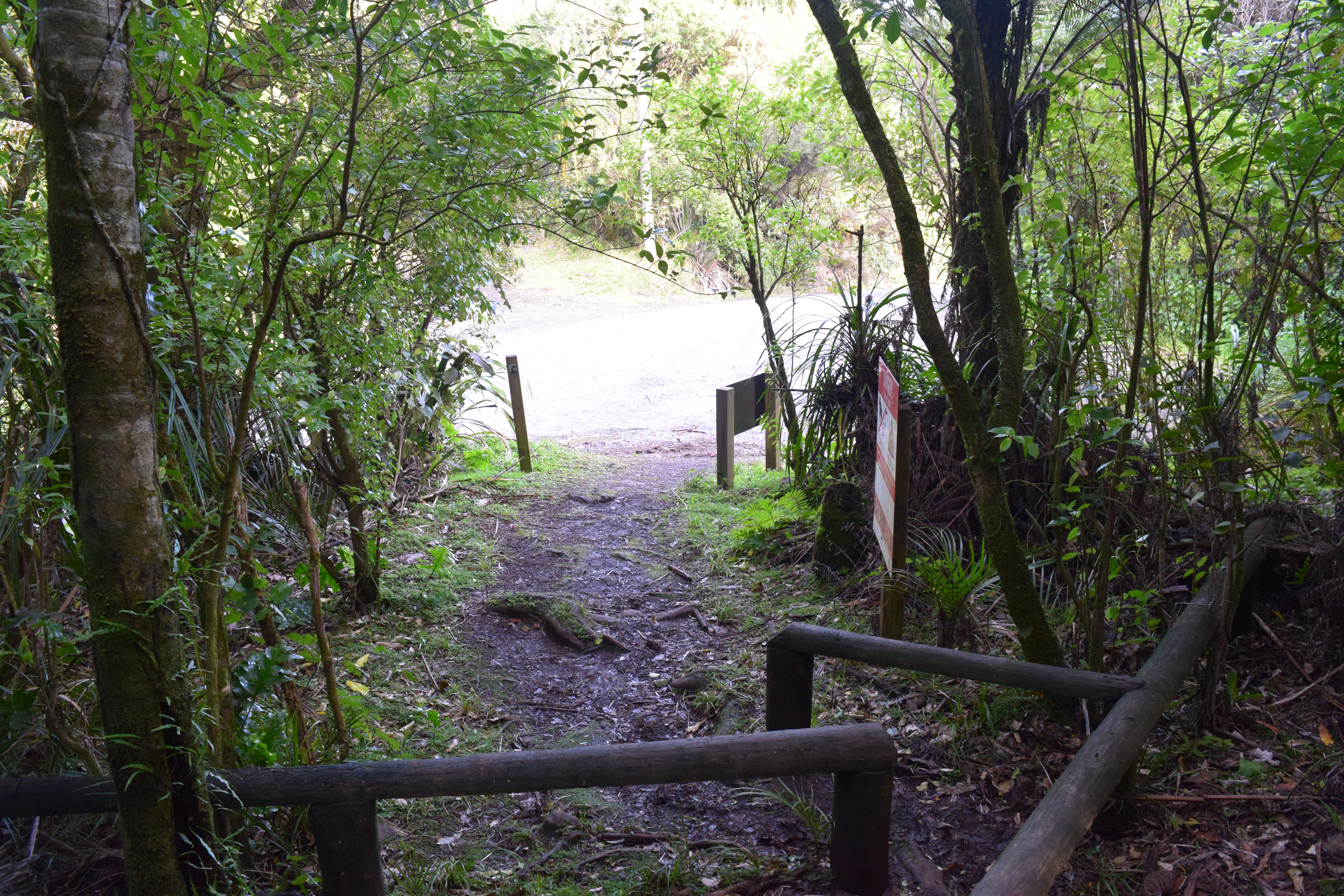
The Puiri Ridge track does pop out onto the road for a very small way.
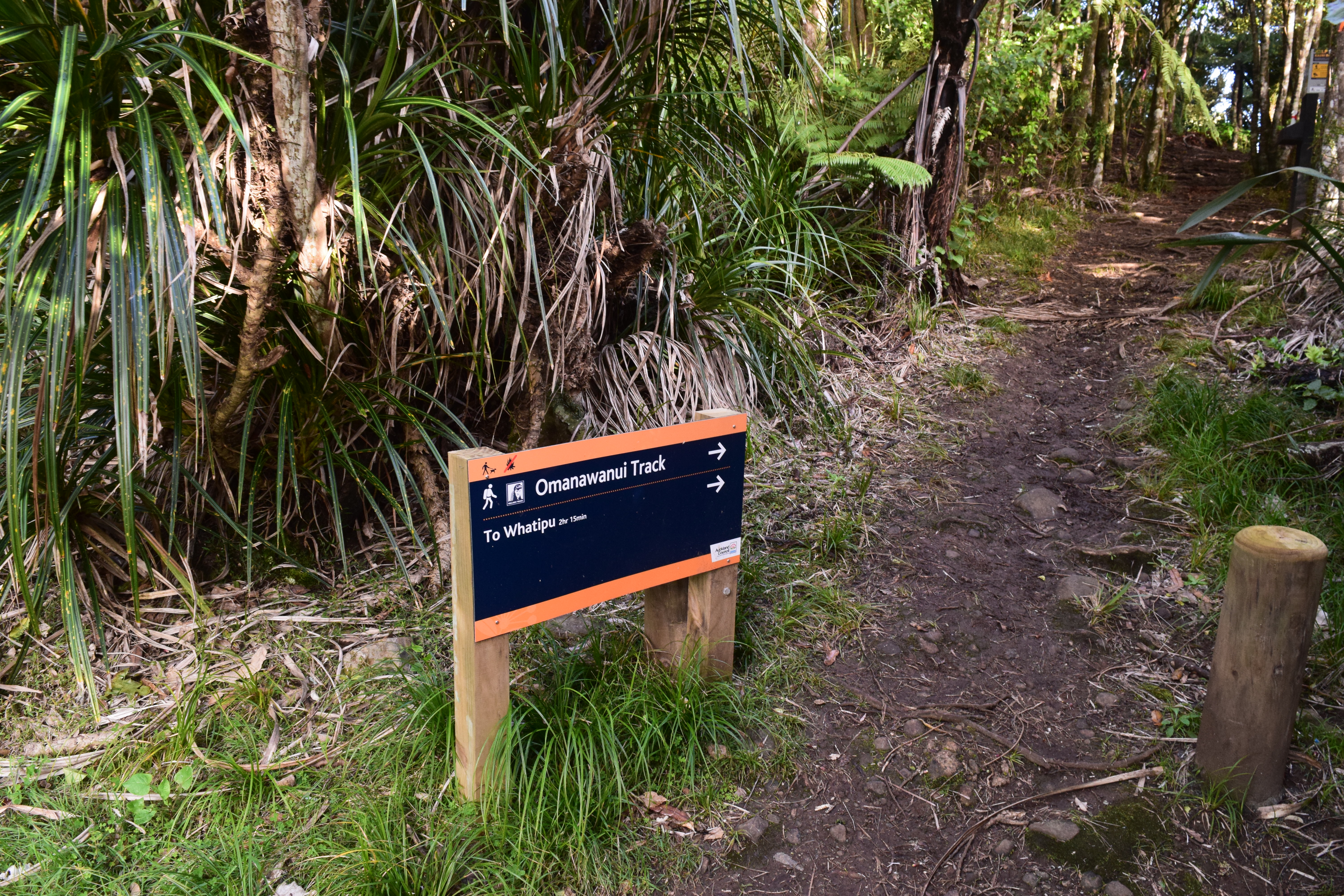
Just a bit down the street and now we’re on the Omanawanui Track.
I’ll save that bit for next time!
